Researchers from University of Texas at Austin have developed and tested the world’s first three-dimensional operational storm surge model.
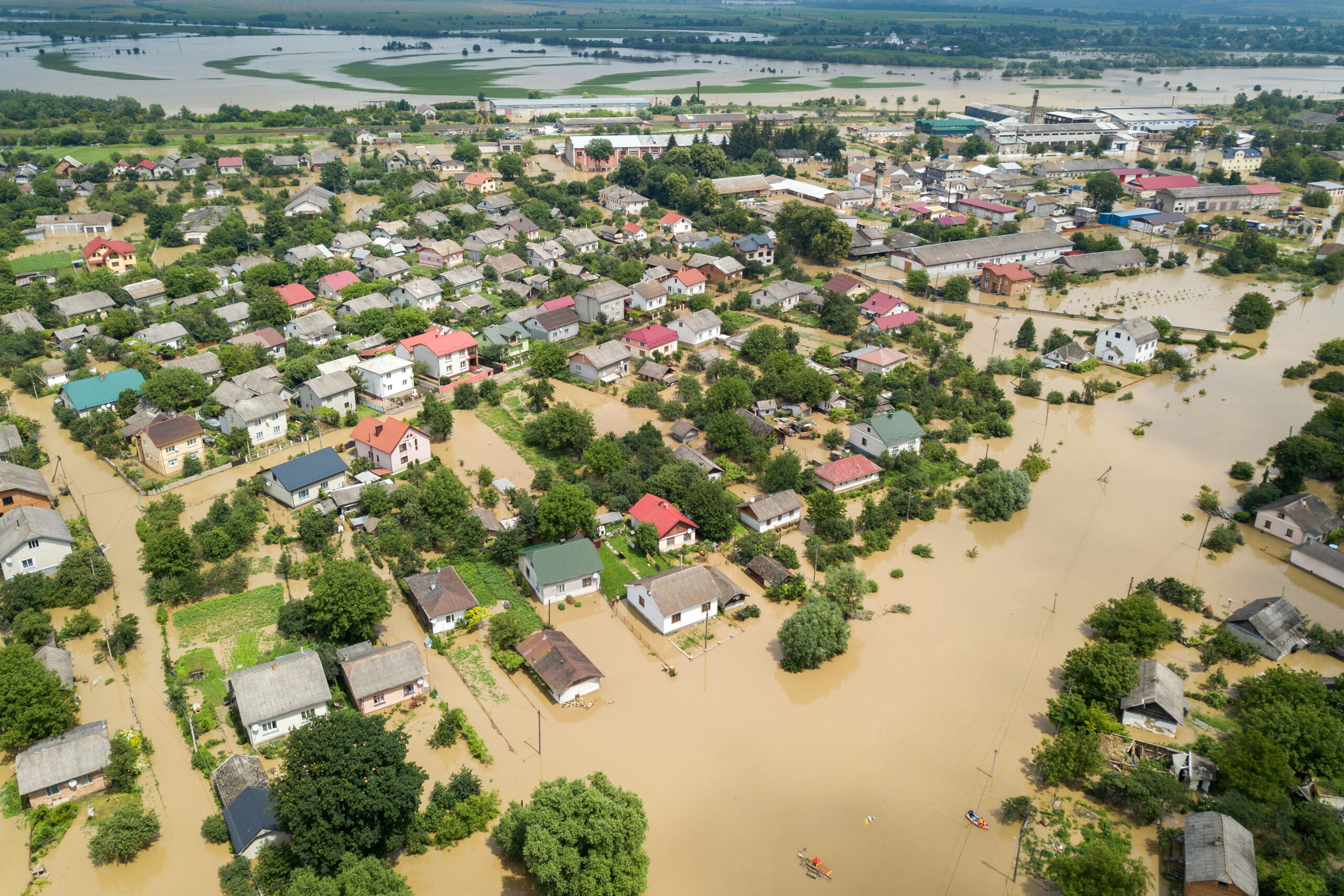
When hurricanes hit, it is not solely the storm surge from different directions that led to flooding.
Inland sources, like rain-swollen rivers, lakes, and suburban culverts also contributed significantly. These factors are usually missed by many computer models at the time, which underestimated the flood risk.
“People don’t care as much as to whether flooding is coming from the river or the ocean, especially when both contribute to water levels, as they want to know, ‘Is my house going to be flooded?'” said Edward Myers, branch chief of the Coastal Marine Modeling Branch, located in the Coast Survey Development Laboratory at the National Oceanographic and Atmospheric Administration (NOAA).
Myers and his colleagues at NOAA are collaborating with Y. Joseph Zhang from the Virginia Institute of Marine Science (VIMS) at William & Mary to develop and test the world’s first three-dimensional operational storm surge model.
The system represents a way to provide better information to the public and decision-makers in times of crisis. Learn more here.

